Gis Visualization
Advertisement
SpacEyes3D Viewer v.5.0
Real time 3D visualization of terrain model, and DTM analysis. SpacEyes3D Viewer is program to interactively visualize 3D models made with SpacEyes3D Builder.SpacEyes3D Viewer uses the same rendering engine that SpacEyes3D Builder.
Advertisement
DIMIN Viewer v.5.2.5 Build 140
Using DIMIN Viewer software you will be able to view images in countless formats, and apply a variety of effects. Dimin Viewer incorporates unique visualization ideas, like Panoramic Photographs Tool and Big Image Navigator. It also features multi
CivilCAD License Manager v.1.0
CivilCAD License Manager is a free software that allows you to make the process of registering a CivilCad product more fast,easier and reliable.
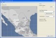
My World GIS v.4. 1. 2011
My World GIS™ is a Geographic Information System (GIS) designed specifically for use in middle school through college classrooms.
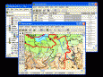
GIS ObjectLand v.2. 6. 2003
GIS ObjectLand is a universal Geographic Information System for Windows. Key features: - creation of vector-raster maps with arbitrary structure of layers and feature types; - creation of themes. Theme is a user presentation of a map; - control of

Grass GIS for Mac OS X 6.4.1-3 v.3
Commonly referred to as GRASS, this is a free Geographic Information System (GIS) used for geospatial data management and analysis, image processing, graphics/maps production, spatial modeling, and visualization.

Icons-Land Vista Style GIS/GPS/MAP Icon Set v.2.0
Vista Style GIS/GPS/Map Icon Set is of perfect design quality. Being represented in 7 sizes, icons can be widely used in local service applications, GPS tracking and GIS applications, and any kind of mapping applications.
Quantum GIS Tethys v.1.5-r13926-1
The Quantum GIS Tethys repository contains a lot of software from OSGeo projects. Quantum GIS Tethys and all dependencies are included, along with Python, GRASS, GDAL, etc.
Orbit Visualization Tool v.2 3
The Orbit Visualization Tool (OVT) is a software for visualization of satellite orbits in the Earth's magnetic field.
Quantum GIS v.1.8.0
Cross-platform and user friendly Open Source Geographic Information System (GIS). Quantum GIS (QGIS) is a user friendly Open Source Geographic Information System (GIS) that runs on Linux, Unix, Mac OSX, and Windows. QGIS supports vector, raster,
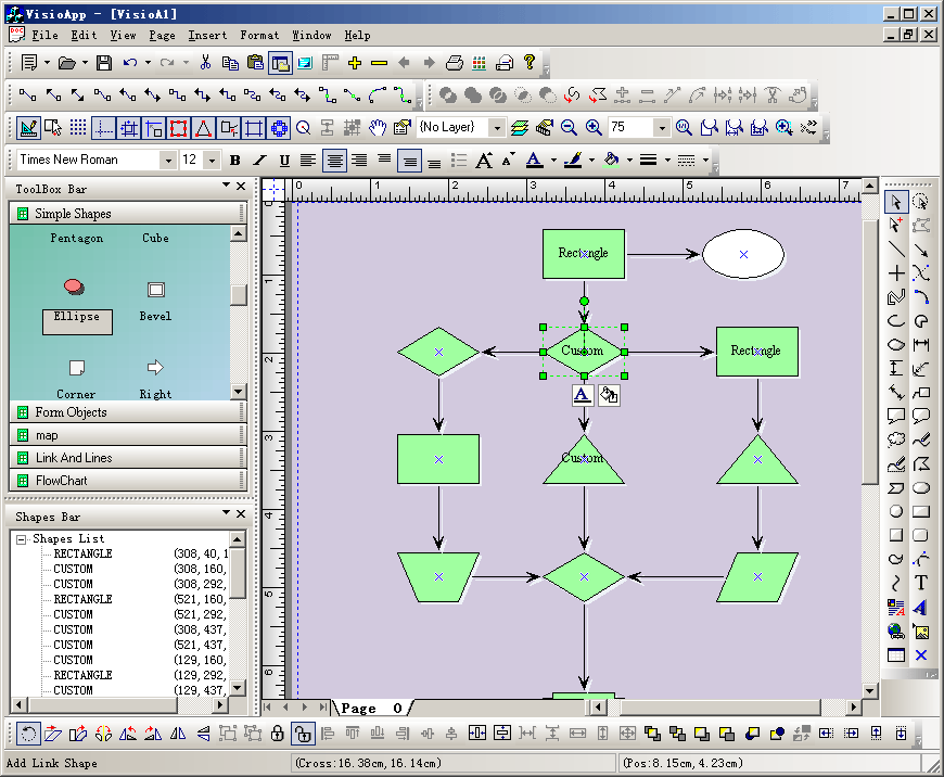
E-XD++ Visualization HMI & CAD ToolKit v.17.02
E-XD++ Visualization ToolKit is an MFC extension library that allows you to create the most advanced user interface in the world.